For Sale
$120,000
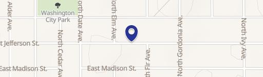
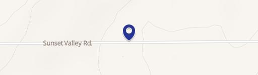
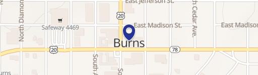
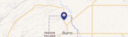
Rock Ave Burns, OR 97720
Prime Burns, Oregon commercial land; 8.14 acres.
Overview
- Added:
- Dec 11, 2024
- Days on market:
- 133
Highlights
- $120,000 asking price for 8.14 acres of commercial land.
- Located in Burns, Oregon (Harney County, zip code 97720).
- Power lines run along the southern property boundary, with city services nearby.
- 2023 property taxes were $968.05 (pre-adjustment).
- Financing options include cash or bank financing.
Property Details for 0 Rock Ave
- Property type
- Land
- Lot Size (sq. ft)
- 354,578 SF
Location Insight
- City
- Burns
- County
- Harney
- State
- Oregon
- Latitude
- 43.5821691
- Longitude
- -119.072988
Nearby Similar for Sale


FAQs
- What type of property is this?
- Land - Prime Burns, Oregon commercial land; 8.14 acres.
- Where is the land located?
- The property is located at Rock Ave Burns, OR.
- What is the asking price?
- The asking price for this property is $120,000.
- What are key features of this property?
- This property features: $120,000 asking price for 8.14 acres of commercial land.; Located in Burns, Oregon (Harney County, zip code 97720).; Power lines run along the southern property boundary, with city services nearby.
- How can I contact the broker?
- We strongly encourage to message the broker through our portal by clicking on the “Envelope” icon next to the brokers photo on the property page. We’ve found brokers response time is much quicker via our messaging portal than phone as brokers are always on the go.
- How do I access a private listing?
- Please contact the broker directly with the information provided on the listing. Once the broker approves your credentials he will make the information public to you.
- How do I unsubscribe from emails?
- At the footer of each email you will find links to Reduce Email Frequency, Adjust Email Settings or Unsubscribe altogether. If you choose to Unsubscribe and are still receiving emails please reach out to us at [email protected].
 Visit Broker Website